High Pointe: Old and New, Part 1
Preserving the original High Pointe as the new High Pointe project moves forward
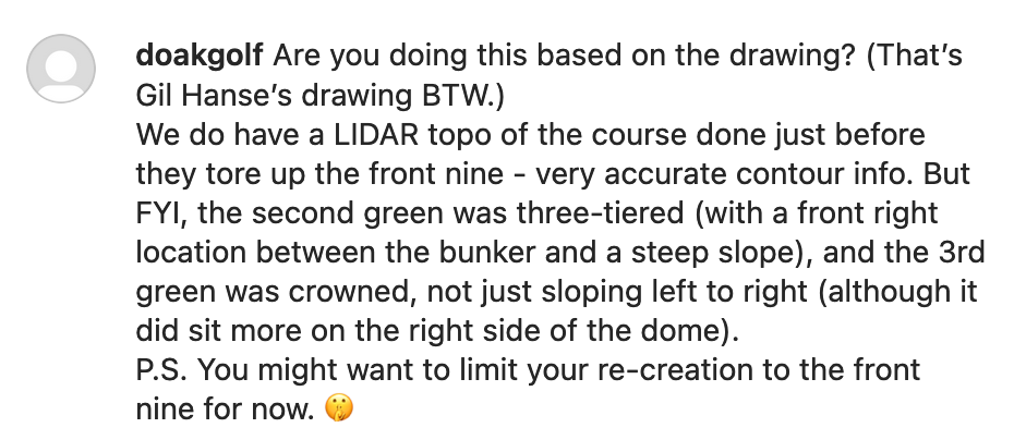
Was it my first scoop? I don’t know if it counts, it was pretty vague. But there it was, back in early June of 2022, an Instagram comment from Tom Doak hinting at the possibility of a revamped, or redone, or partially restored, or whatever you want to call it, High Pointe Golf Club in Traverse City.
“You might want to limit your re-creation to the front nine for now. 🤫”
I tried DM’ing Andy Johnson from the Fried Egg to ask Tom if High Pointe was coming back, and that went the way most DM’s to the Egg man go… unanswered. I started seeing hints throughout the fall, though, about new land that was purchased surrounding the original back 9 holes of High Pointe, and then finally in November Tom and Andy released a podcast with the full details. Since then an Instagram account has been created, and numerous articles spell out more of the known details on the course, which could break ground in spring of 2023:
Links Magazine article: https://www.linksmagazine.com/high-pointe-tom-doak/
Local Traverse City article with one of the early scoops on the project; includes preliminary routing plan submitted to the township: https://www.traverseticker.com/news/the-return-of-high-pointe-golf-club/
More details from Beth Milligan on the recent township approval of the plans: https://www.traverseticker.com/news/high-pointe-golf-course-gets-green-light-from-acme-township/
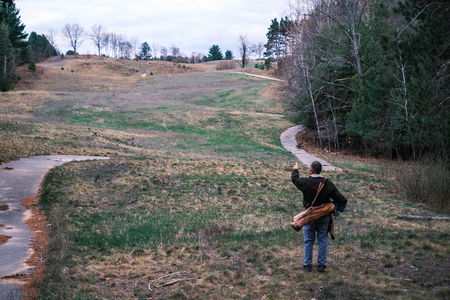
Photo Essay by Noak Jurik (hosted by North Coast Golf) showcasing the current state of the back 9: https://northcoastgolfco.com/blogs/news/story-of-high-pointe
The Original High Pointe
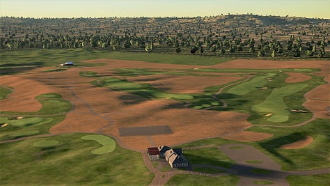
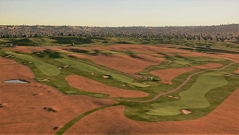
My High Pointe scoop did not formulate out of thin air, of course. Tom’s comment was in response to an early glimpse that I posted of a PGA 2K21 (now PGA 2K23) project aimed at bringing the original High Pointe course to life.
As detailed in many of the articles linked above, the story of the original High Pointe is that Tom Doak built the course in 1989, it being his first ever 18-hole design. The then-public course closed in 2008 as a result of the recession, with the land that the front 9 sits on being sold to what would become MI Local Hops, which would go on to become perhaps the most famous hops farm in Michigan golf, if not all of golf. The back 9, which sits on land that was (note the past tense) heavily treed and even more undulating than the front 9, was never developed and sits mostly untouched to this day. The exception is that the latter half of the 16th hole, the full 17th hole, and the 18th tee were lost.
I began this digital restoration process well before knowing that a real-life resurrection of the course was even a possibility. My idea for the project was sparked by Peter Flory’s digital restoration of the original Lido course, which ultimately led to the real-life resurrection of the Lido course at Sand Valley, led by, coincidentally, Tom Doak. Using the same software as Peter, along with an ingenious tool created by a user allowing elevation data to be imported into the software, I began snooping around the former High Pointe area to see what kind of info might still be available on the original course. Fortunately enough, there was elevation data in existence from 2009, prior to the redevelopment of the land on the front 9, which preserved just about all of the original contours of the golf course.
Once the elevation data was discovered, bringing the course back to life was mostly a matter of using older satellite imagery to match surfaces (fairways, greens, bunkers, etc.) to their contours within the elevation data. It sounds easy enough, but you have to remember that back when the course was still in existence, mainly the 90’s and 00’s, it wasn’t a given that high-resolution satellite imagery was available everywhere, especially in an area like Northern Michigan. For the relatively wide open front 9, this generally was not a hindrance, but not so for the back 9 which was heavily shadowed by all of the trees. Trying to make out whether a blurry smudge on a satellite image is a bunker, a cart path, or just nothing at all can make a person feel a little insane after awhile.
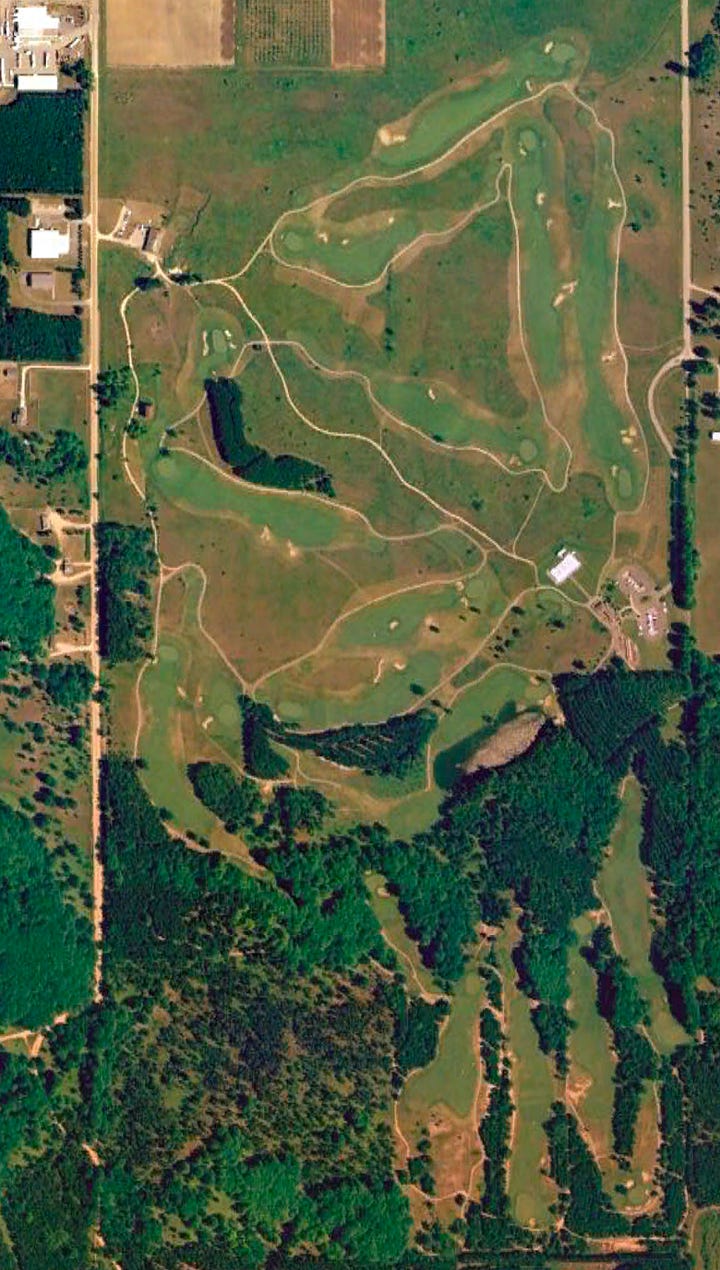
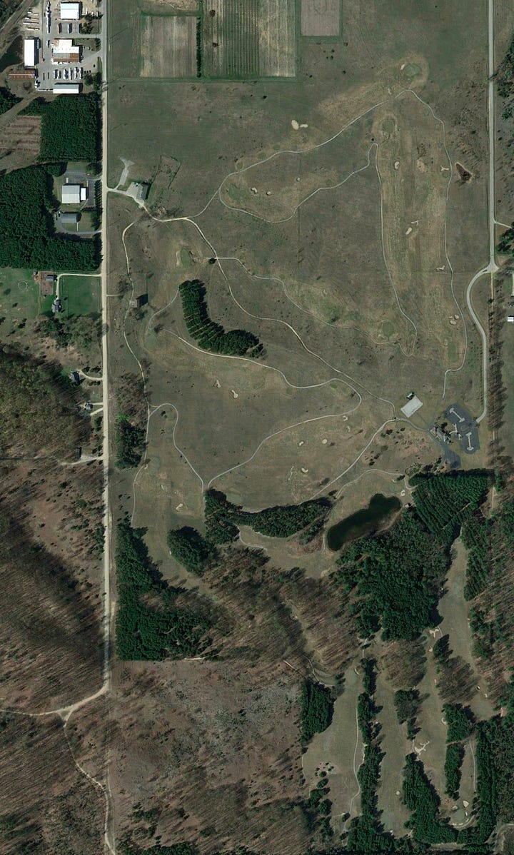
Simply replicating some golf holes from the past is one task, but in a fully interactive piece of software, bringing the course to actual life and making it feel real when playing it means really trying to understand what the environment looked like and how to re-create it. This includes things like trees, bushes, grasses, buildings, and what the surrounding non-golf areas were like; not an easy task when dealing with a course that only ever so slightly caught the beginning of the internet golf architecture dorkery era. Doak’s most famous course, Pacific Dunes, didn’t open until 2001 and the trickle down effect of interest in all of his previous projects wasn’t really in full gear yet, so photos and videos of the course were pretty sparse in existence. Luckily there is one pretty good video available on Youtube. Look for this video again in part 3 of this series when I discuss the 13th green.
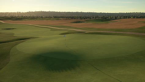
In addition to how the course looked, the last element of capturing the essence of the original High Pointe was trying to replicate how the golf holes played, especially the greens. One of the most notable features of High Pointe is that Doak shaped all of the greens himself, a practice that doesn’t often occur in his projects these days. With this being the first design of the notoriously brash young Tom Doak, you can likely imagine how audacious the surfaces are on what Tom thinks may still be some of his best greens to date. As nice as it would be, unfortunately it’s not a plug-and-play situation where once you load the contours and surfaces into the game, everything is replicated perfectly and you get an authentic experience of playing the course. It takes quite a bit of research, testing, and subtle shaping to try and match the gameplay engine to real-world expectations, a task made even more difficult by the fact that I never had the pleasure of seeing or playing the course in person.
Getting Started
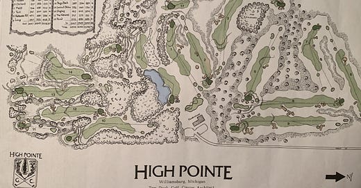
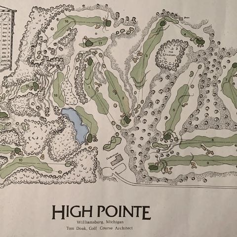
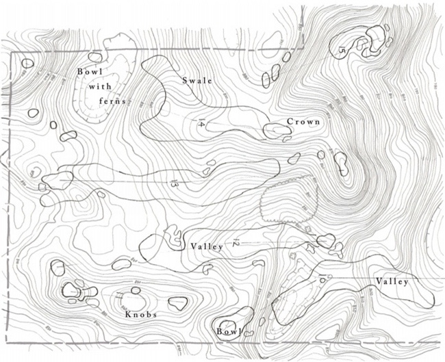
An early impetus for going forward with the digital restoration was the existence of an artistic drawing of the routing plan pre-construction.
In another delightful twist in this project, and as Tom noted in his early Instagram comment, the drawing was done by Gil Hanse, who worked with Doak on the project. The drawing is not a perfect representation of the final product, but it’s pretty close, and was helpful in clearing up areas of confusion where satellite visuals were blurry or unhelpful.
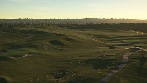
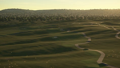
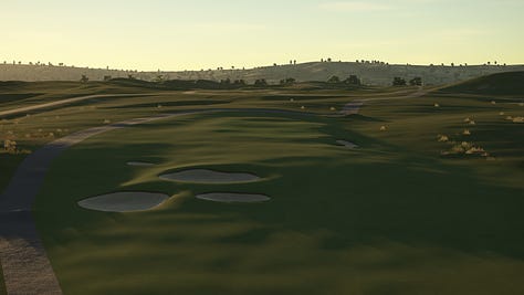
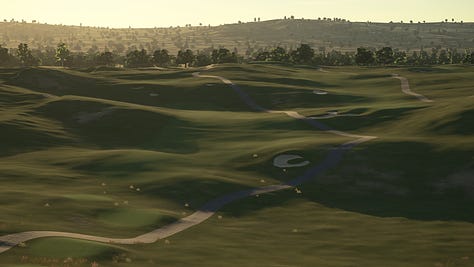
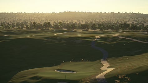
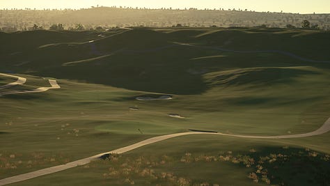
One of the best parts of a digital recreation project for me is when I first get the LiDAR elevation into the software, and there is nothing else there except for the raw movement of the property. Turning the angle of the sun way down generates long shadows highlighting each dip and bump on the course, and from there I just get to take the whole thing in. As Tom has said in many of the articles on High Pointe, it really is an incredible piece of ground for golf. Other than the relatively flat Northeast corner of the property around holes 6, 8 and 9, the land heaves and rolls and provides a relentlessly interesting canvas for golf.
This is part 1 of a 3-part series. Click here to continue on to part 2 and a look at the lost front 9 at High Pointe.

